Articles
Here you can find all the published articles (still migrating some from Medium. Including your weekly dose of OSINT news published every Monday at 8:00 AM CEST!

Another filled episode, with some videos and articles, but I also added some tips and insights on the new Google Analytics platform.
This week there's quite some content, and there's been some really nice information out there that I needed to share here too. But I also decided to share some perso...
A small selection of news from the world of OSINT, ranging from deep fake detection to satellite imagery.
Sometimes a new tool comes out that makes me eager to try it out, like the 'Fake Profile Detector' by v7labs that's featured in this episode. But while testing that with a variety of AI genera...
Welcome to another Monday, your weekly small collection of tools, tips, links and articles in the world of OSINT!
Even though I was back at work, I only spent some time doing some fun stuff in my spare time. I only started writing this all on Saturday, and didn't even know whether I would finish i...
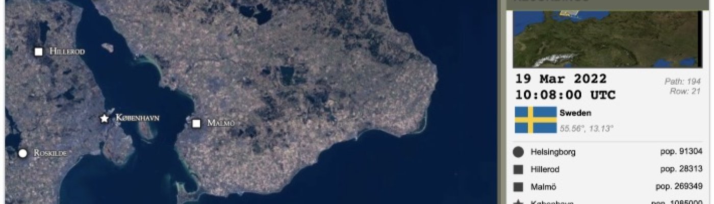
Welcome to the first newsletter of 2022, with satellite imagery, maps, links, challenges, tools and more!
Hello 2022, and hello readers! I've had some lovely time off, and spent a lot of time offline, but now it's time to get into action again! The last weeks I've collected some interesting links,...
Another nice update, with a plethora of subjects this week! From privacy to news sites, and from stolen art to Shodan queries!
This week I have a very diverse set of topics, something I always love. The topics range from privacy to stolen art, and I had lots of fun reading articles and watching vi...
Quite an update this week, with links shared by the community, and some things I found myself. And at the end, there's a little revisit to a link from 2018.
It's almost time for me to take a break, so I'll make one more episode next Monday before I'm off for a few weeks. And this week it shows tha...
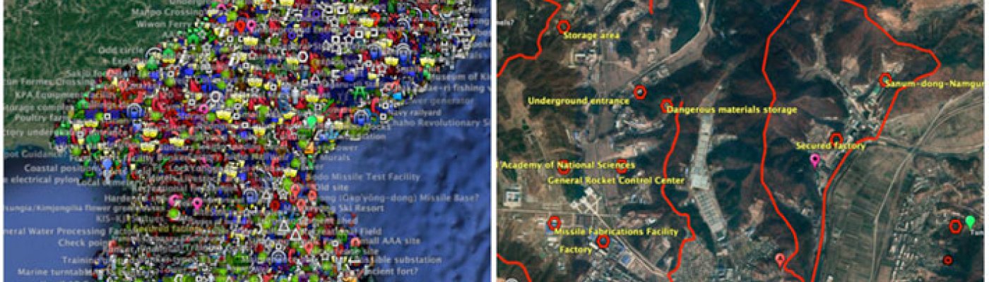
From Shodan alternatives to an alternative search engine, and from finding witnesses with Strava, to interesting information on indexed Tor nodes.
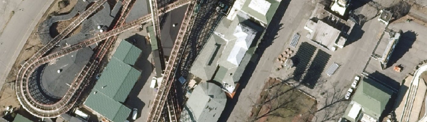
This week I played around a bit with soar.earth. By zooming in on specific areas, certain maps or imagery sets show up. From old photos taken by spy sa...