Week in OSINT #2021-30
Quite an update this week, with links shared by the community, and some things I found myself. And at the end, there's a little revisit to a link from 2018.
It's almost time for me to take a break, so I'll make one more episode next Monday before I'm off for a few weeks. And this week it shows that large datasets are everywhere nowadays, just looking at the links this week clearly shows that. And one link about archiving, which is also about data. Within the field of OSINT, everybody uses data to generate intelligence or information, so that's not something new. But have you ever realized how many websites or companies gather all kinds of data, so we can use it within our work? If not, read all the topics of this week, and revisit this question again:
- Legal Entity Identifiers
- Google Earth Apps
- OpenStreetCam KartaView
- GIJN on Archiving
- Finding Online SDR with ZoomEye
- Open Buildings Dataset
- GPSpies is now AllTrails
Site: Legal Entity Identifiers
Back in 2011 a new system was being developed by the G20 to identify organizations, since company names aren't always unique and identification codes sent with financial transactions were a bit hard to track. So a new system called 'Legal Entity Identifier', or LEI for short, was created. It's a 20 character alpha-numeric code and is unique throughout the world. Companies can apply at GLEIF to receive such an ID if they have a need to, and they can be searched easily via GLEIF, or via the website of OpenLEIS, run by OpenCorporates, that enables you to directly search for more information inside OpenCorporates. A little warning: OpenLEIS doesn't provide an encrypted connection, so if you feel uneasy about that, use the original source over at GLEIF. Thanks for the tip Molfar!
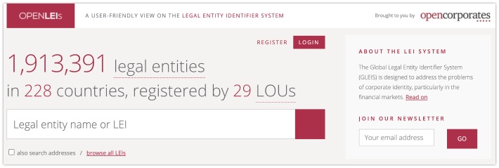
GLEIF: https://search.gleif.org/
OpenLEIS: http://openleis.com/
Tip: Google Earth Apps
Benjamin Strick shared a huge list of Google Earth Apps last week. These apps are visual representations of datasets that can be combined with Google Earth data. This can be anything from wildfires, like Ben shared, human influence on the environment, or even the Cambodia floods of 2020, as pictured below. The list is huge, and doesn't always provide context about the dataset that is being presented, so not all links might be relevant to investigators. But do check it out, and make sure to share some nice finds with the community!
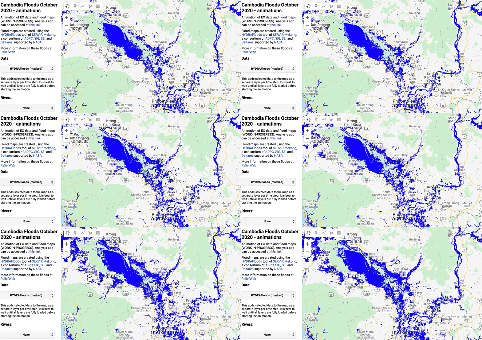
Link: https://github.com/philippgaertner/awesome-earth-engine-apps
Site: OpenStreetCam KartaView
Remember OpenStreetView and OpenStreetCam? Well, it has been rebranded to Kartaview around November 2020 in respect of the trademark policy of OpenStreetMaps. Since then, they've rebranded everything and worked on changes in their OSM plugin. Even though it's a bit sluggish to retrieve the images, I do like the fact that there are some great alternatives if other StreetView providers don't have coverage.
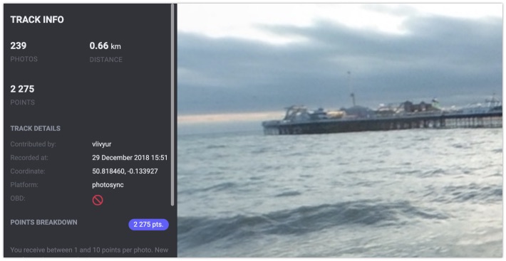
KartaView Map: https://kartaview.org/map
Article: GIJN on Archiving
Shakira on Security notified me about this article, and I must say I'm happy about that! The article explains in easy wording why archiving is important, and give some good examples. It also provides basic steps that can ensure that your data is safe, and also gives tips on how to make sure you're able to find information easily at a later date. Another great article by GIJN!
Taking good care of data requires some time and money, but the loss of irreplaceable reporting work can come at a higher cost. @talya_cooper offers a few basic tips for journalists hoping to improve their personal archiving practices. https://t.co/7gd7nUw5Ik
— Global Investigative Journalism Network (@gijn) July 28, 2021
Link: https://gijn.org/2021/07/27/why-journalists-need-an-archiving-system/
Tip: Finding Online SDR with ZoomEye
This isn't about your usual FM radio stations, but about radio signals used by air traffic control, marine traffic and so on. To capture these transmissions one can install a software defined radio (or SDR for short), or try and find something like a 'ProScan Web Server' online. By using ZoomEye there are quite a view of these internet accessible radio scanners that can be found, for instance here's a query to find these servers that provide you with P25/TETRA scanners for instance. But this is not the only query that can be found on the blog of giammaiot2, so if you're interested in SDR, do check out the rest of this blog!

Link: https://giammaiot.blogspot.com/2021/07/how-to-catch-proscan-web-server.html
Tip: Open Buildings Dataset
Another interesting link by Benjamin Strick, this time about a new dataset from Google: The Open Buildings Dataset. Google developed new methods to detect buildings in large parts of Africa, and provide a free dataset that can be used as an overlay to investigate population and urban planning. Sadly enough it doesn't cover every country in Africa yet, but this dataset is already a great start.
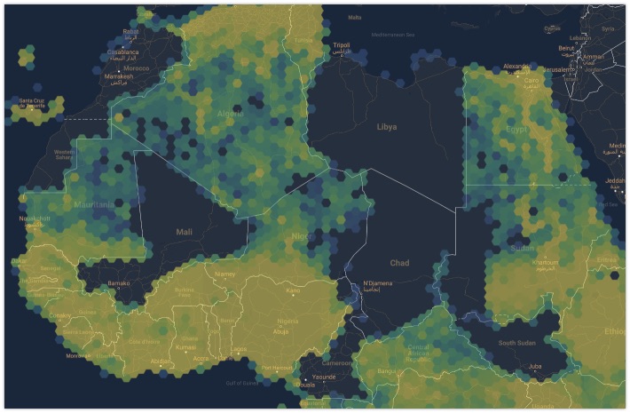
Thread: https://twitter.com/BenDoBrown/status/1420741224156196870
Link: https://ai.googleblog.com/2021/07/mapping-africas-buildings-with.html
Revisit: GPSpies is now AllTrails
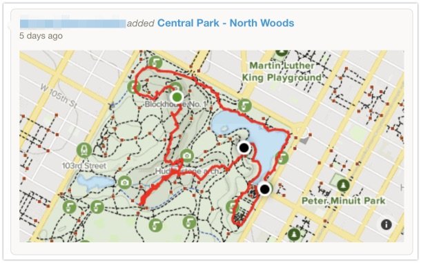
The very first link I ever wrote about in my first Week in OSINT was GPSpies, which is now rebranded to 'AllTrails'. This website is a bit like Strava and has loads of public tracks online. Even without an account it's possible to check out the activity of people, by searching for a specific area and looking for specific tracks, or by simply opening the member page with the following URL:
https://alltrails.com/members/{name}
When looking at the map, don't just look at the curated trails, but do make sure to check out the 'Community Content', since there might be some interesting tracks to discover there. An extra tip: Make sure that the website can't store any cookies, since it will start bugging you to login after some time. An incognito tab is enough to stop the website from doing so.
Have a good week and a good search!
