Week in OSINT #2020–25
From geolocation to hate symbols, and from GIS information to YouTube in this small update.
Hello and welcome to one of the last Week in OSINT's for a while. Next week will be the last episode before I am taking a break for a couple of weeks. I usually do that around summer and Christmas, and I'm sure up to some rest! So maybe I'll go over some old links I still had lying around, or write another special, or maybe readers have some nice links they'd like to share. Feel free to reach out on Twitter and let me know!
- Creating Covert Accounts
- YouTube Tool
- Using Nature in Geolocation
- Plantnet
- Hate Symbols Database
- Satellite Imagery
Article: Creating Covert Accounts
This short article about creating fake accounts popped up somewhere in my timeline. There are some handy tips and hints on getting phones and SIM cards, and what to look for when creating an online persona for OSINT investigations. It goes without saying that this is not a perfect solution for all threat levels, but these are the mere basics for a general account.

Tool: YouTube Tool
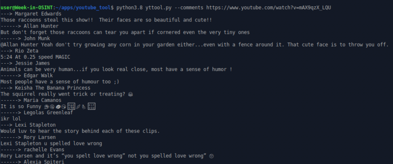
Dutch_OsintGuy pointed me to a new tool on GitHub. Twitter user twitsme has created a command line tool to extract metadata and comments from YouTube videos, show the content of playlists, replay live chats or can be used as a command line query tool to find videos. Be aware it needs Python 3.8, if you don't already have that installed yet.
Link: https://github.com/nlitsme/youtube_tool
Article: Using Nature in Geolocation
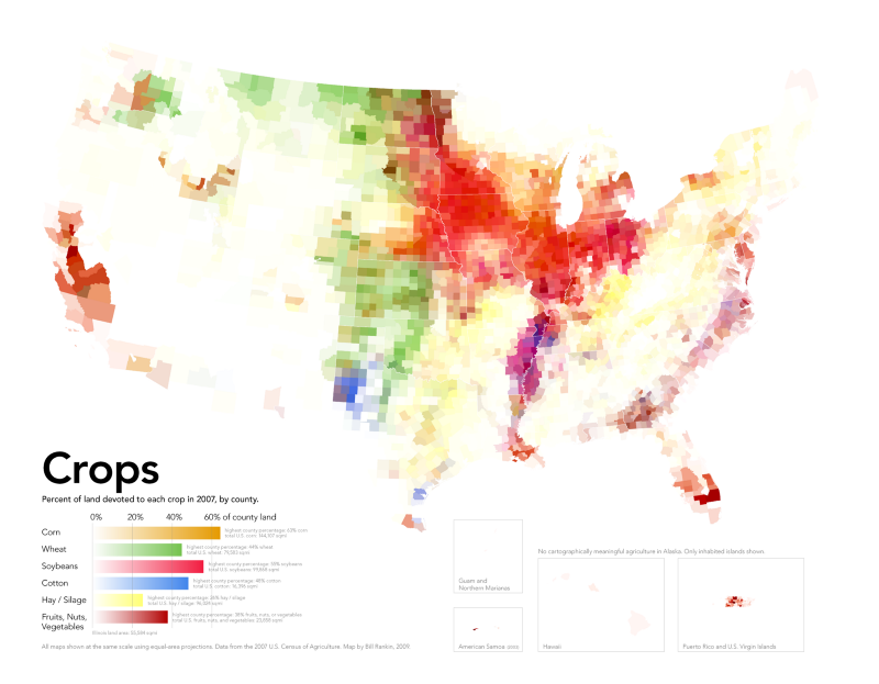
In this article Rae Baker talks about using indigenous plants, trees and other flora to aid in geolocation. Even though it isn’t really new, there aren’t a lot of articles on this subject so I’m happy she took the time to write something about it.
Link: https://medium.com/@raebaker/how-nature-may-reveal-secrets-in-geolocation-e34dc9f42ed
Site: Plantnet
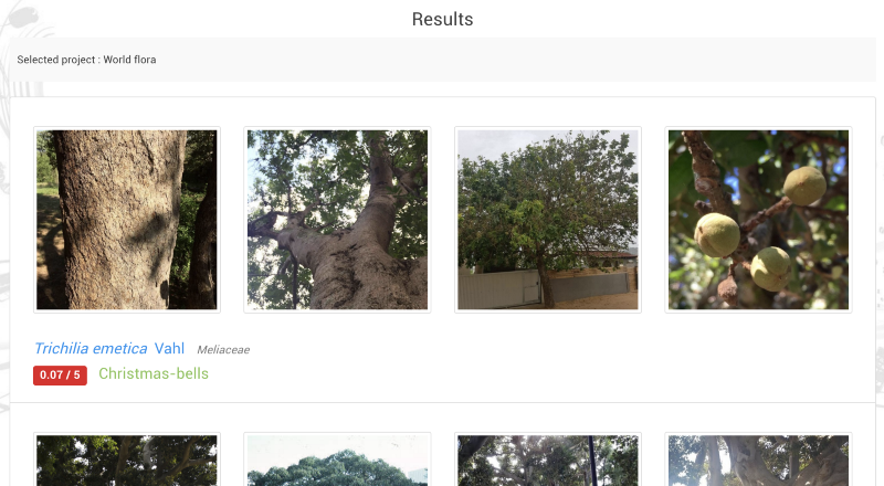
One site that was brought to my attention by S0md3v and was also mentioned in the article above, is Plantnet. On this website you can upload one or more photos or URL's and it will return possible matches. I found that plants and flowers are identified a lot better than trees though. While testing I found it wasn't able to identify an image of a pear tree that I found on Wiktionary. Still an awesome website that can definitely help with geolocation.
Link: https://identify.plantnet.org/
Search: Hate Symbols Database
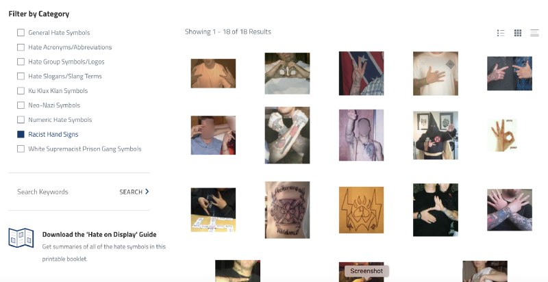
ADL stands for 'Anti-Defamation League' and have been fighting anti-semitism in the US for decades. Besides a lot of information on court cases and incidents, they also have a database with 'hate symbols' that are used by right winged groups. Whether it's a hand sign, badge, logo or tattoo, the chances are high it can be found here, together with information of where it's found and what it means. Thanks for the tip Oren Segal!
Link: https://www.adl.org/hate-symbols
Links: Satellite Imagery
At least once or twice a year a web site has an article on the best free satellite imagery providers out there. And about 90% stays the same, but it always pays off to browse through them and find new sources. The site GIS Geography has a ton of articles for the GIS enthusiast, and it's really worth paying this website a visit if you're interested. Thanks for the tip Nixintel!
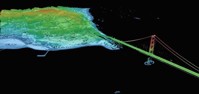
Free imagery sources: https://gisgeography.com/satellite-maps/
Free LIDAR sources: https://gisgeography.com/top-6-free-lidar-data-sources/
Have a good week and have a good search!
